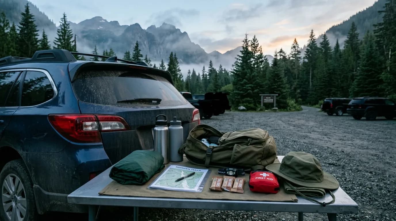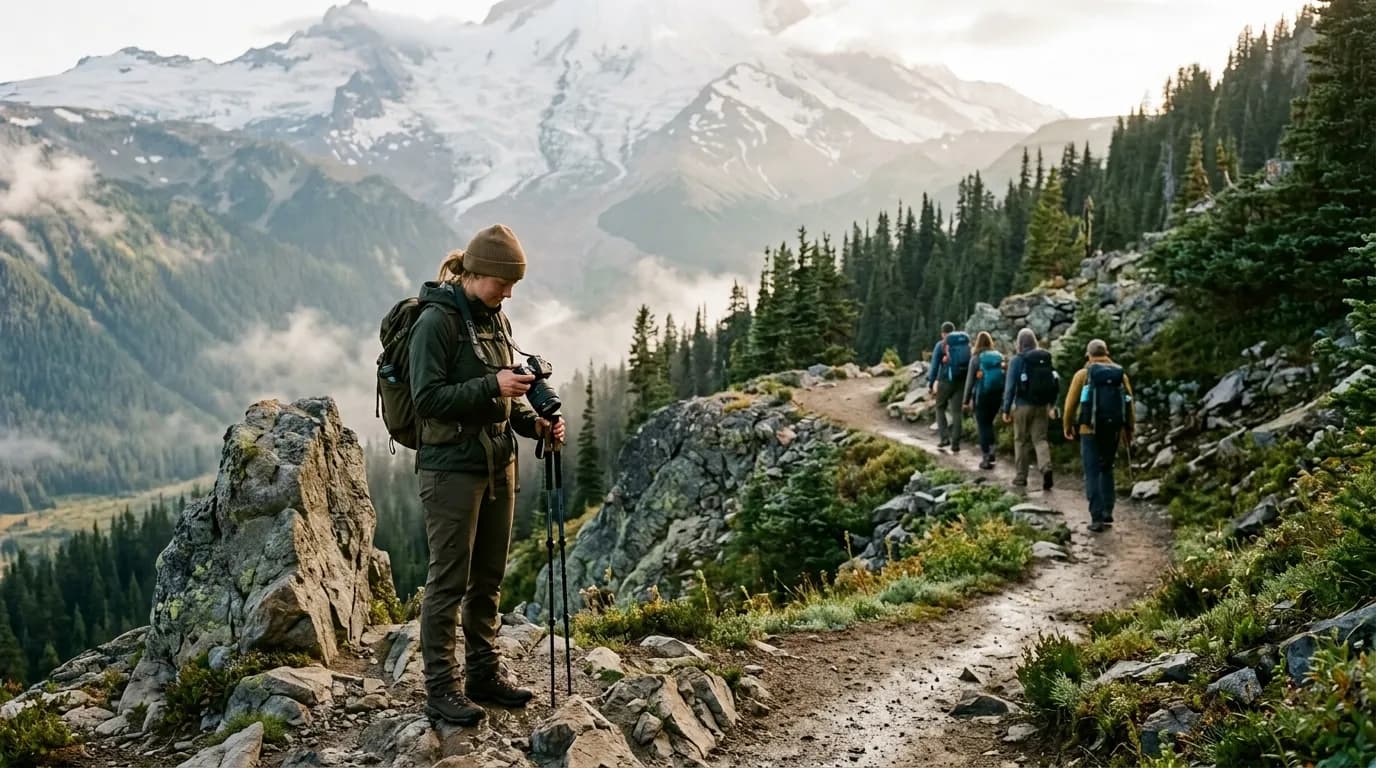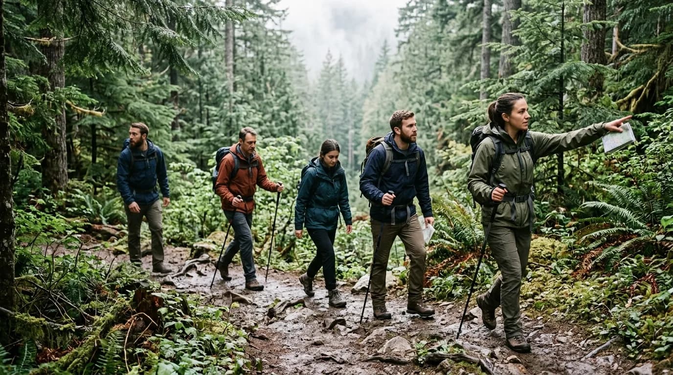
Weather decisions on hike morning are emotional because everything is already packed and everyone is watching. Someone will say the forecast "doesn't look that bad." Someone else will imagine worst-case lightning because of one dark cloud. Without thresholds decided in advance, groups either push into avoidable risk or cancel trips that would have been fine with different layers and a shorter route. A go/no-go checklist is not pessimism. It is how you keep weekends repeatable instead of random.
This guide gives you practical weather rules for day hikers and weekend trail trips: what to check, what numbers matter, how to downgrade instead of cancel, and when the only correct move is coffee at home. For days that stay wet but safe, pair this with our rainy day hike plan. For the moment conditions shift on trail, review when to turn around on a hike so turning back feels like skill, not failure.
Why decide thresholds before hike day
Advance decisions protect you from sunk-cost thinking. When you have driven two hours and paid for parking, your brain discounts risk. Writing rules on Wednesday—when you can still swap to plan B—keeps Sunday-you honest. Thresholds can be personal and group-based; what is acceptable for experienced alpine hikers in proper gear is not acceptable for a first-time group on an exposed ridge.
Good thresholds are specific. "If it looks stormy" is useless. "If thunder is within ten miles at start time, we choose a valley route under treeline" is actionable. "If sustained winds exceed forty miles per hour on the exposed section, we do not commit to the final mile of ridge" gives everyone the same script.
Build three tiers: go as planned, downgrade route or timing, and no-go postpone. Most cancelled weekends could have been downgrades if the plan included a shorter wet-forest loop or a later start after cells pass.
What to check (and what to ignore)
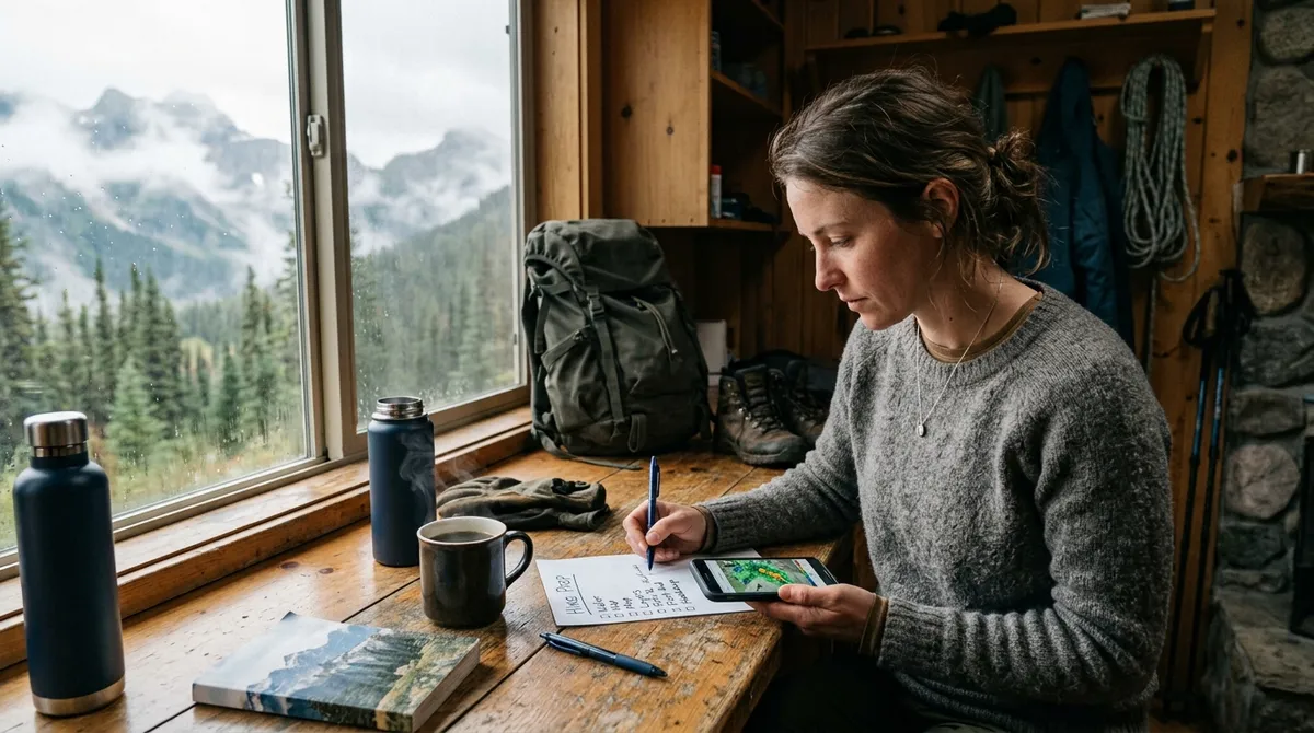
Check mountain or trail-specific forecasts when available, not only the town icon on your phone. Read hourly graphs for temperature, wind gusts, precipitation chance, and storm timing. Look at radar loops for approaching fronts. Read recent trail reports for mud, snow, and blowdowns that linger after weather improves.
Ignore single-model hype and social media photos from different weeks. Ignore "it always clears by noon" folklore unless you have local experience. Do not trust clear sky at the trailhead as proof of clear sky on the summit—upslope fog and convective buildups love surprise afternoons.
Minimum forecast package before you leave
- Hourly temp and wind at elevation if provided.
- Thunderstorm or lightning risk window.
- Precipitation type, intensity, and duration.
- Sunset time if margin is tight.
- Special advisories: wind, heat, air quality, flood, fire.
Lightning and thunderstorms: default no-go zones
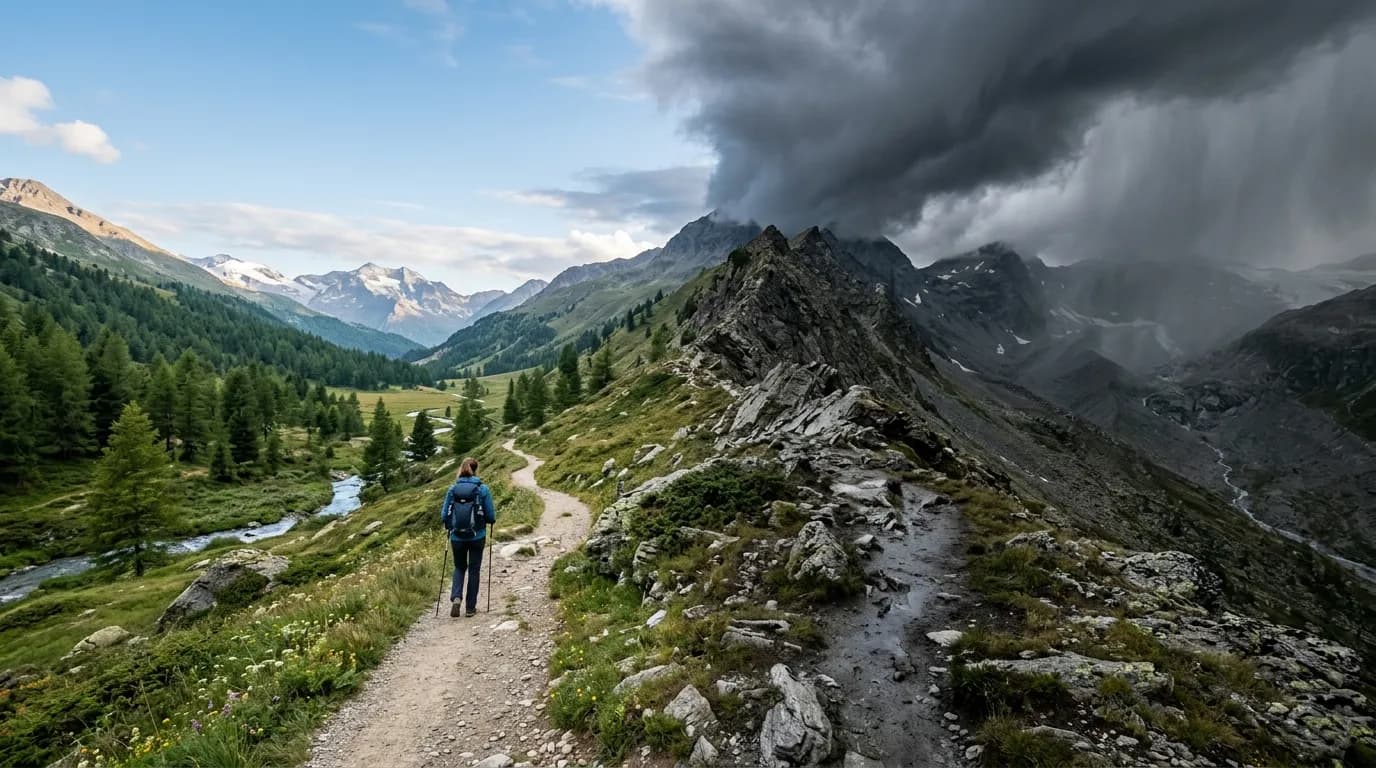
Lightning is the weather hazard most likely to kill hikers on otherwise moderate terrain. If thunderstorms are forecast in your hiking window on exposed routes, default to no-go or to a fully treeline alternative you have pre-selected. If storms build unexpectedly, descent below treeline and away from isolated tall trees, ridges, and water is the move—not a faster summit push.
Useful pre-trip rules: any active thunder within ten miles at planned start on an alpine route → downgrade. Any audible thunder while on exposed terrain → turn around immediately. Cumulus towers building fast toward your ridge line → turn before the scramble, not after. If your group lacks rain shells and warm layers, convective weather is even less forgiving.
Remember that morning bluebird skies do not veto afternoon storms in summer mountains. Start early and plan to be off ridges by early afternoon when convection is common in many ranges.
Wind: when gusts turn views into hazards
Wind alone rarely cancels forest hikes; it frequently cancels knife edges and open summits. Check gusts, not only sustained speed. Forty-mile-per-hour sustained on a broad summit is miserable; sixty-mile-per-hour gusts on a narrow ridge are balance problems with serious fall potential.
Go/no-go example: exposed ridge segments with forecast gusts above fifty miles per hour → no-go that segment; choose lower loop. Cold wind plus sweat increases hypothermia risk even without rain. Pack wind shell and insulation; if you cannot stay warm while stopped, the route is too exposed for that day.
Rain and wet cold: go, downgrade, or stop
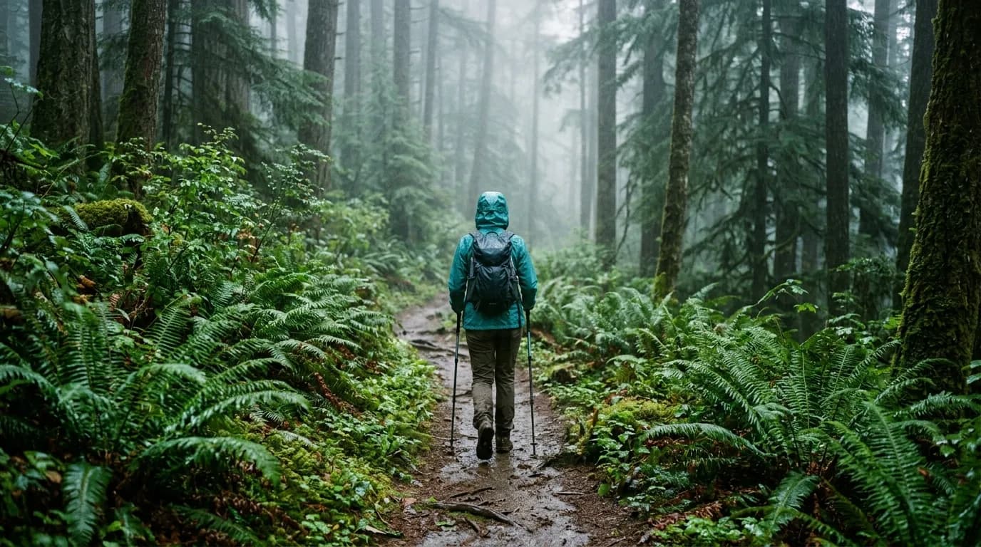
Rain is not automatically no-go. Warm summer rain on a low loop with good traction is often fine with a shell and dry bag discipline. Cold rain above treeline, or hours of steady soak with dropping temps, moves toward downgrade or no-go because hypothermia risk rises even above freezing.
Questions to ask: Is the trail mud-slick or river-crossing heavy after recent rain? Do we have waterproof shells and spare warmth that works wet? Can we shorten mileage and stay lower? Will cloud cap erase navigation on a route that needs visibility? If yes to problems and no to mitigations, pick the rainy-day playbook in our rainy day hike plan or postpone.
Rain downgrade options
- Swap summit for valley waterfall trail with fewer exposure points.
- Cut loop to out-and-back to the first major junction.
- Delay start until the heaviest band passes on radar.
- Hike with a tighter turnaround time and hot drink in the car waiting.
Heat and sun: underrated no-go conditions
High heat with limited shade and no reliable water is a legitimate abort scenario, especially for groups not acclimated. Heat illness sneaks up while everyone focuses on miles. Set thresholds like: forecast high above your group's experience level with more than half the route exposed and less than two liters carry capacity per person → downgrade to dawn start or shaded river trail.
Air quality from smoke can also be no-go for health reasons even when skies look "fine." Check AQI and local smoke maps. Red flag fire days may close trails entirely—another weather-adjacent hard stop.
Cold, snow, and ice: when ambition meets friction
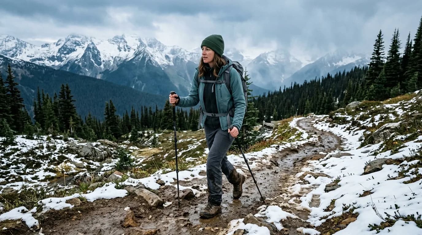
Spring and fall weekends often feature perfect parking lot weather and icy upper slopes. Trail reports mentioning microspikes, postholing, or avalanche terrain simplify decisions. If you lack traction devices and the route requires them, that is no-go until gear or route changes—not "maybe we will be careful."
Whiteout or forecast dense fog on routes with cliff bands or cairn navigation → no-go or strict treeline cap. Navigation errors in whiteout kill people on familiar trails every year.
The on-trail weather watch
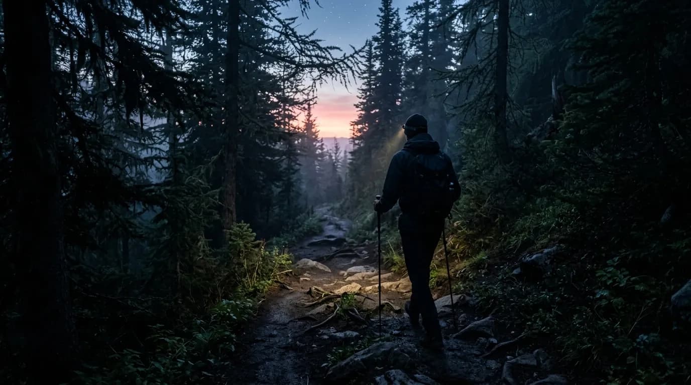
Even good plans meet changing sky. Assign someone to monitor clouds, wind shifts, and temperature drops. On trail triggers should mirror pre-trip ethics: thunder heard → descend. Wind beyond comfort on exposure → retreat. Hypothermia signs in anyone → warm, eat, turn back. Visibility loss on critical navigation → U-turn.
These moments are where turn-around guidance earns its keep. A turnaround is successful risk management, not a ruined weekend—especially if you still get pizza on the drive home.
Sample go / downgrade / no-go table
Go as planned: light winds, no thunder in window, temps within gear range, trail reports match expectations, group rested.
Downgrade: afternoon thunder possible → early start, treeline cap, shorter loop. Steady rain → forest route with shells. High heat → dawn hike, more water, rest stops.
No-go: active lightning on exposed route at start, hurricane-force wind advisories on planned ridge, icy alpine sections without traction, smoke AQI unhealthy for sensitive lungs, road access closed due to flood or slide.
Customize numbers for your region and experience. Write them in a notes app titled with the trail name so you reuse the same discipline trip after trip.
Communicating the decision with your group
Share forecast screenshots when you propose downgrade, not only the verdict. People accept changes they understand. Offer two options: "Shorter valley loop now" or "Postpone to Sunday morning" beats "We're canceling." If one member pushes hard against a safety threshold, hold the line calmly. Group trips require shared risk tolerance, not the boldest person's appetite.
Document near-misses and good calls equally. "We turned at treeline and got hailed on in the parking lot" trains future judgment better than lucky summit photos alone.
After a weather-cancelled weekend
If you no-go at home, do something small outdoors if safe—a local walk, gear sort, pack check—so the weekend still feels like yours. Rebook while motivation is fresh. Update thresholds if forecast models were wrong in instructive ways.
Regional patterns worth knowing
Coastal ranges often carry marine layer until mid-morning—go with a later start or expect damp cool air without storm risk. Interior mountains build convection storms on summer afternoons even when mornings look flawless. Desert trails punish heat and flash floods in narrow canyons; rain miles away can send water through slots you thought were dry.
Learn one recurring pattern where you hike most. Local knowledge turns generic checklists into fast decisions. A hiker in the Pacific Northwest accepts more drizzle; a hiker in Colorado Front Range watches afternoon lightning religiously. Neither is tougher—both are specific.
Layer and gear gates tied to weather
Translate forecast into packed gear minimums. Below fifty degrees Fahrenheit with rain forecast: waterproof shell, insulating midlayer, spare warmth in dry bag, hat and gloves. Above eighty-five with full sun: extra water capacity, electrolytes, sun hood or hat, reconsider midday exposure. Wind advisory: trekking poles, low center of gravity on descents, optional goggles in blowing snow.
If the group cannot meet the gear gate, downgrade or no-go. Sharing one rain jacket across two people is not a plan. Community gear works for camp stoves, not for personal weather protection.
Forecast disagreement: how to choose
When models diverge, assume the worse-case scenario for exposure decisions and the milder scenario only for valley forest walks with easy bailouts. Check observation stations and webcams if available—real data beats theory. Radar animation shows speed and direction of cells; static icons do not.
Practice runs: building judgment without drama
Test your checklist on moderate days first. Downgrade once on purpose when a single threshold triggers—even if you could have pushed. Notice how it feels to turn early with good pizza afterward. That memory makes the hard no-go on a dangerous day easier to accept.
Document your thresholds in a reusable note
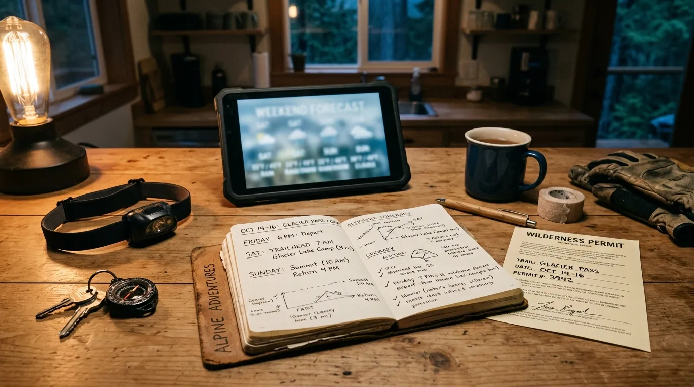
Create a note template: trail name, exposure rating low/medium/high, lightning rule, wind gust limit, rain type go/no-go, heat rule, cold rule, alternate route link. Fill it every trip. Over a season you will see patterns in your own comfort and risk tolerance—not abstract internet debate.
Microclimates and elevation swaps
Valley forecasts mislead ridge hikers. If your plan gains significant elevation, check mountain-specific products when available. Temperature often drops several degrees per thousand feet; wind increases on exposed knobs. Swap to a lower parallel trail when upper-elevation forecasts cross your thresholds even if town looks friendly.
When to trust your eyes over the app
Models update slower than skies change. Building cumulus, sudden wind shifts, or rapid cooling on trail override a green phone icon. Conversely, a grim overnight forecast that softens at dawn may justify a valley start while watching radar. Default rules come from the checklist; eyes apply them with turn-around habits ready.
Seasonal add-ons for your checklist
Spring: mud, blowdowns, avy terrain on steep snow. Summer: afternoon convection, heat, smoke. Fall: early snow on shaded aspects, shorter daylight. Winter: traction requirements, shorter bail windows. Add one seasonal line to your template so shoulder weeks do not catch you using summer rules in autumn storms.
Quick morning decision flow
At wake-up, run this sequence in five minutes: read hourly graph for your window, check radar animation, scan trail reports for overnight changes, compare against your written thresholds, choose go/downgrade/no-go, message the group with one clear sentence. "Downgrading to valley loop; thunder on ridge after noon" beats a group chat argument at the trailhead. If two models disagree and exposure is high, downgrade automatically without debate.
Keep a printed threshold card in your glove box for popular routes. Phone batteries die; paper does not. Update the card when you learn local quirks—some ranges habitually build storms by 1:00 p.m. even when mornings look perfect.
FAQ
Who gets the final say on go/no-go in a group?
Everyone shares risk, so the most conservative reasonable threshold should win—not the loudest voice and not majority vote over safety. Agree before the trip that any member can call a downgrade without debate. Leaders can propose; they should not override clear checklist triggers because the group drove far. Document thresholds in writing so "final say" is the rule you wrote on Wednesday, not charisma on Sunday.
How far in advance should I make the weather call?
Set preliminary go/downgrade/no-go on the evening two days out when forecasts stabilize enough for exposure decisions. Reconfirm morning-of with radar and observation stations. Major fronts sometimes warrant a Friday night hard cancel to protect sleep and driving. Minor drizzle forecasts often wait until six a.m. radar when valley routes remain viable.
Is light rain always a downgrade and never a no-go?
Light warm rain on forest loops is often full go with shell and dry-bag discipline. Light cold rain on exposed ridges can be no-go without proper insulation and turnaround margin. Rain intensity matters less than temperature, wind, terrain, and group gear. Use the rain section of this checklist rather than treating all precipitation alike.
What apps or sources do experienced hikers trust?
Official agency alert pages, mountain-specific forecasts where available, local observation stations, and radar loops beat generic city icons. Trail condition reports from recent hikers fill gaps models miss—mud, blowdowns, lingering ice. Cross-check two sources when exposure is high; one app is not a checklist.
How do I explain a no-go to disappointed partners?
Share screenshots of the specific threshold crossed—lightning within ten miles, gust forecast, closed road—not vague "bad weather." Offer a concrete plan B date or shorter local walk so the weekend still moves. Framing no-go as protecting future summits reduces shame and keeps partnerships intact for the next window.
Related Reading
- Rainy Day Hike Plan That Still Feels Worth It — when downgrade beats cancel
- When to Turn Around on a Hike — on-trail triggers after you start
- Shoulder Season Layering for Weekend Trails — gear gates for spring and fall margins
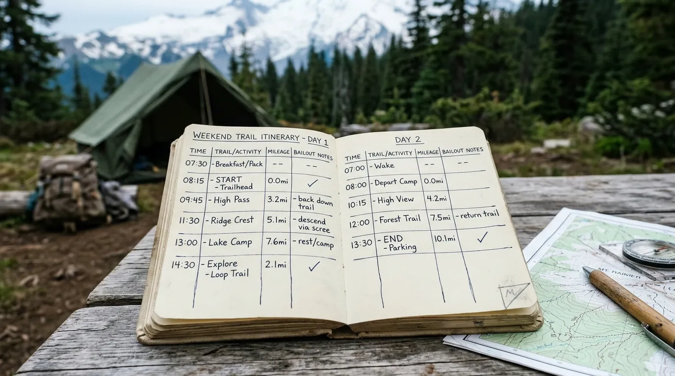
- How to Plan a Weekend Trail Trip — build weather tiers into the whole itinerary
Weather kills and injures hikers every year. This checklist supports judgment—it does not replace local expertise, official warnings, or emergency training.
Weather go/no-go checklists are how hikers keep decades of weekends instead of one dramatic story. Decide early, downgrade often, no-go without shame when numbers cross lines, and let turning around on trail be as normal as tying boots. The mountains will be there; your only job is to meet them on days your plan and the sky can agree on.